A community forked Organic Maps over a hidden Kayak deal, and shipped CoMaps
CoMaps is a free, ad-free, offline navigation app for hiking, biking, and driving that just marked its first birthday.
The pitch: offline search and routing that need only a GPS fix, zero mobile data, and an app that says it collects no information about you at all.
The catch users keep hitting is search, with no way to blend city with name, road with category, or filter by opening hours.
An offline map that only needs your GPS
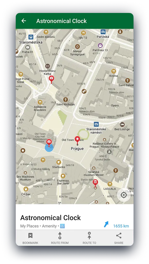
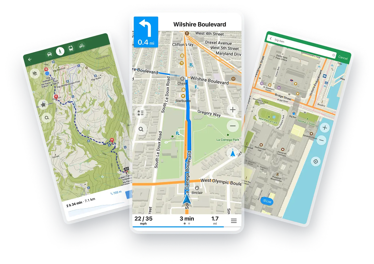
CoMaps is a free, open-source navigation app for hiking, biking, and driving, built by an open-source community as a fork of Organic Maps, itself descended from Maps.Me. It runs on OpenStreetMap data, so search and routing work with only a GPS fix and no mobile data, and it's built to sip battery. Its privacy line is flat: it "does not identify people, does not track you, and does not collect any information." Exodus Privacy audited it, development happens on Codeberg, and an F-Droid build strips the proprietary blobs.
Why a community walked out
The fork wasn't amicable. A commenter relayed the governance backstory behind the split:
Despite being advertised as a community-driven project, key decisions, including financial management, partnerships (with Kayak, for instance), and the inclusion of proprietary components in the code were made by a small group of shareholders, often without input from the broader contributor community.
— a commenter relaying the fork's backstory
Search is still the sore spot

For all the privacy wins, the OpenStreetMap foundation shows its limits in one place. A heavy user of OSM apps:
One of the main things that keeps me from using essentially all OSM-based mapping apps as my primary is that search seems incredibly bad. I can't blend city and name, road and category, can't usually filter by features or open time
— a heavy user of OSM-based apps
The Google-traffic holdout
Two drivers put numbers on daily use. One found the ETAs close:
It's timing estimates are often 5-15 minutes off Apple Maps, which I find accurate, on ~two hour drives, but I imagine it depends on the traffic.
— a driver checking its ETAs against Apple Maps
The other keeps CoMaps as his main map but won't fully cut the cord:
This is what I use in my main GrapheneOS profile. I still have a dedicated profile for Google Maps though as I still have not been able to give up their greater datasets (i.e. traffic)… just install the F-Droid version.
— a GrapheneOS user keeping a spare profile for Google's traffic
Get breakdowns like this every day
The top Hacker News stories, unpacked — by email, Telegram, or RSS.
Cars went all-touchscreen to save money, not because screens are better
Ben Stolovitz went looking for evidence that touchscreens beat knobs and dials. He mostly found spreadsheets.